hero media

The mesmerising story of Hanging Rock explained

Is the film/book Picnic at Hanging Rock real or imagined? Australian Traveller’s rock hound, Kerry van der Jagt, steps back in time to investigate this and other geological questions about the Macedon Ranges enigma.  

Short answer: A picnic spot in Victoria where schoolgirls disappeared.

Long answer: Hanging Rock is located around 80km to the north of Melbourne in the Hesket Plains near Mt Macedon. It’s 718m above sea level and 105m above the surrounding plain. It’s also one of the best examples in the world of a volcanic feature known as a mamelon (French for nipple).

It was formed six million years ago (in the Tertiary period) when a stiff type of lava formed a rounded pile of layers on the surface as it was squeezed through a narrow vent in the Earth’s surface.

The type of lava is unique in that it has an extremely high soda content. Over the years the action of rainwater has formed an unusual rock known as solvsbergite (soda trachyte).

The same rock type is also found at the nearby Camel’s Hump at Mt Macedon. The mamelon has been exposed to weathering, which has resulted in the rock formation that can be seen today. These include: Stonehenge, McDonald’s Lookout and The Eagle.

Aerial view of Hanging Rock
Aerial view of the impressive Hanging Rock formation. (Image: Visit Victoria)

Is Picnic at Hanging Rock real or imagined?

Hanging Rock is best known from Joan Lindsay’s narrative, Picnic at Hanging Rock (1967), about the mysterious disappearance of a group of local schoolgirls during an excursion to the Rock on February 14, Valentines Day 1900. And like any decent Australian mystery, the bodies were never found!

The author, in the opening to the first edition, states: “Whether Picnic at Hanging Rock is fact or fiction my readers must decide for themselves." At the time of the incident, organised searches for the three students and their teacher were carried out but only one girl was ever found.

Clearly she’s leaving the mystery open. My take is that the schoolgirls (and Miss McCraw) were crushed under a slab of rock that fell during a mini landslide, or they fell down a deep crevice or chimney. Either way, Hanging Rock is an eerie place and an extraordinary geological formation.

Today it remains a mystery shrouded in tales that flick between folklore and fact. The novel was eventually made into a movie directed by Peter Weir in 1975 and received international acclaim. A new adaption of Lindsay’s novel was turned into a six-part television series, starring Natalie Dormer aired in 2018.

A scene from Peter Weir's film adaption of Picnic at Hanging Rock. (Image: Atlantic/Allstar)
A scene from Peter Weir’s 1975 film adaption of Picnic at Hanging Rock. (Image: Atlantic/Allstar)

Need tips, more detail or itinerary ideas tailored to you? Ask AT.

AI Prompt

Fast facts about Hanging Rock

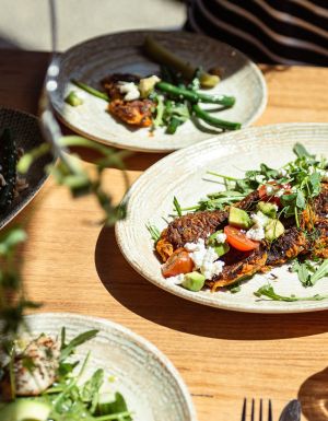
You probably know: Annual events such as art exhibitions, movie nights under the stars, car shows, concerts, craft markets and family-friendly festivals are held at Hanging Rock.

But did you know: The type of rock, solvsbergite, is extremely unusual and, outside of the Macedon region, is only found in Norway and Sweden.

And did you also know: During filming of Picnic at Hanging Rock, watches and clocks of the cast and crew behaved badly. Some stopped, others ran fast, some slow.  In Joan Lindsay’s novel, the watches of the schoolgirls stopped at noon (cue Twilight Zone music).

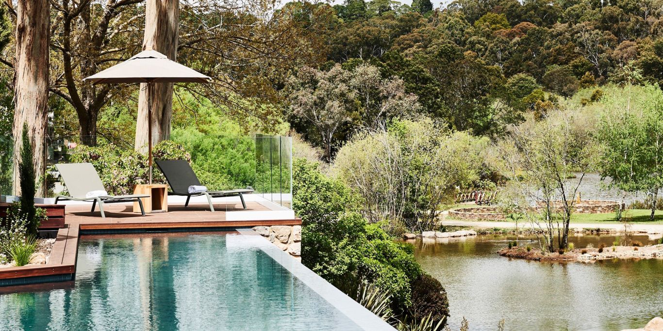
What else can you do at Hanging Rock Reserve?

Many folks take the relaxed route and set up for the day at one of the many BBQs (they’re free to use) scattered throughout the scenic reserve and simply admire the views of the soaring monoliths. The famous Pinnacle Walk to the summit is a popular activity as is the nocturnal ranger-guided walking tour.

Two women at the Summit of Hanging Rock.
The Pinnacle Walk to the summit. (Image: Visit Victoria)

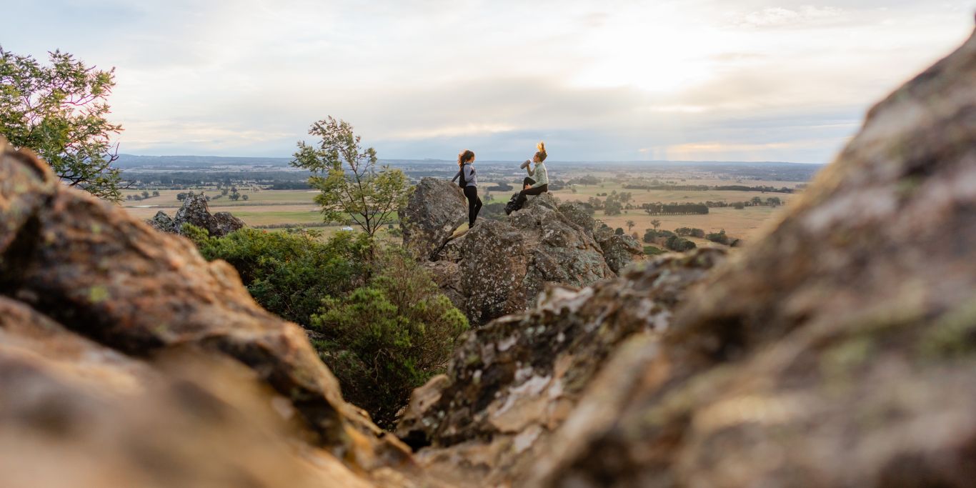
There are three dedicated walks to enjoy at Hanging Rock: The Pinnacle Trail, Base Walking Trail and the Creek Walking Trail. Each trail showcases the reserve’s distinctive beauty; expect to see granitic boulders, curious mammals, and unique volcanic rock formations. The Pinnacle Trail to the summit is quite the highlight! Note: the pathways are quite wide and people of average fitness will reach the top relatively easily in about an hour.

Kangaroos at Hanging Rock
Curious kangaroos at the base of Hanging Rock. (Image: Visit Victoria)

The ranger-guided Hanging Rock night walking tour offers the opportunity to see gliders, koalas, wallabies and more exploring their natural surroundings. So, if adventuring after dark is your thing, this tailored tour will surely appeal.

This article was originally written by Kerry van der Jagt and updated by Roxanne Williams.

Roxanne Andrews
Roxanne Andrews is a freelance travel writer and editor based in Yamba, Australia. Topics of expertise include; sports tourism, luxury travel, arts & culture, cuisine & dining, wellness, the adventure sector and all things marine. A professional scribe who occasionally goes gonzo to capture the moment.
View profile and articles
hero media

The road trips and trails you need to experience in Victoria now

    Kellie Floyd Kellie Floyd
    Wind through fern tunnels, stop for a wine in a tram bar, or chase giant murals across the wheatbelt. These drives and rides prove Victoria’s best stories are found off the straight and narrow. 

    There’s something unmistakably Australian about a road trip: car packed, playlist on, landscapes shifting. Travelling down the highway toward Healesville, in Victoria’s Yarra Valley, the mountains rise, flanking me on both sides. I feel its embrace, a silent invitation to explore what lies beyond.  

    Moss-covered embankments rise on either side, and towering mountain ash trees form a green tunnel overhead. Road signs warn of wombats and cyclists but with giant ferns lining the roadside, the landscape feels prehistoric, as if a dinosaur might suddenly emerge. This, the Black Spur, is one of my favourite road trips. 

    The Black Spur 

    The Black Spur drive
    Through the forested canopy of The Black Spur drive that winds from Healesville to Narbethong. (Image: Neisha Breen)

    Location: Yarra Ranges
    Duration: 30 kilometres / 30 minutes 

    The Black Spur is short compared to other Victorian road trips, just 30 kilometres, stretching from Healesville to Narbethong. But what it lacks in distance, it makes up for in scenery. Just outside Healesville, Maroondah Dam offers bushwalks and scenic views. However, if pressed for time, Selover’s Lookout is an easy roadside stop offering uninterrupted views of the dam.  

    In Narbethong, close to the Marysville’s snowfield, is the Black Spur Inn, a charming double-storey brick hotel that’s been welcoming travellers since 1863. Here, diners cosy up by the roaring fire or gaze through the floor-to-ceiling windows, imagining horse-drawn coaches carrying hopeful gold seekers to the eastern goldfields.   

    Victoria’s Silo Art Trail 

    Silo Art Trail
    The Silo Art Trail in the Wimmera Mallee region. (Image: Visit Victoria/Anne Morely)

    Location: Various towns across the Wimmera Mallee region
    Duration: More than 200 kilometres / 4–5 hours but best over a minimum of three days  

    What began as a way to draw travellers back into town bypassed by highways – places such as Nullawil, Sea Lake and Patchewollock – has grown into a celebrated outdoor art movement. The Silo Art Trail now includes 23 silos, each transformed with large-scale mural portraits sharing local stories, celebrating community heroes, Indigenous history, farming life, or regional identity.  

    The Nullawil silo, for example, is a portrait of a local farmer in a chequered flannelette shirt alongside his loyal kelpie, painted by artist Sam Bates (AKA Smug). And the silos at Albacutya in the Grampians, painted by artist Kitt Bennett, depict her joyful memories of growing up in the countryside. Many of the murals sit right in the heart of small towns, such as Rochester and St Arnaud, making them perfect spots to pause for a country pub meal or something sweet from a local bakery.   

    Metung to Mallacoota  

    Gippsland lakes
    Gippsland Lakes. (Image: Visit Victoria/Josie Withers)

    Location: Gippsland
    Duration: Approximately 220 kilometres / 4 hours  

    The Gippsland Lakes are a much-loved holiday spot in Victoria, but road-tripping further east reveals much more. Begin in Metung and time your visit with the monthly farmers’ market, or simply linger over lunch on the lawn of the Metung Hotel. Twenty minutes away is Lakes Entrance, where you can watch the fishing boats return with their catch. 

    Lakes Entrance
    Lakes Entrance. (Image: Visit Victoria/Iluminaire Pictures)

    Continue to Marlo, where the Snowy River spills into the sea, and Cape Conran for its many beaches and walks. If needing to stretch your legs, Croajingolong National Park is home to the historic Point Hicks Lighthouse and the Wilderness Coast Walk. Birdwatching and rainforest trails near Bemm River are worth a pit stop before arriving in Mallacoota, where the forest meets the sea. 

    Great Ocean Road 

    12 Apostles on the Great Ocean Road
    The 12 Apostles on the Great Ocean Road. (Image: Tourism Australia/Two Palms/Harry Pope)

    Location: South-west Victoria, from Torquay to Allansford
    Duration: Approximately 250 kilometres / 4–5 hours but best over a minimum of three days  

    Victoria’s most famous road trip delivers it all: world-class surf breaks, rainforest walks, clifftop lookouts and wildlife encounters. The journey begins in Torquay, the state’s surf capital, then hugs the coast past Anglesea and Lorne to Apollo Bay, before curving inland through the lush rainforest of the Otways. Stop at Cape Otway Lightstation or take to the treetops at Otway Fly.  

    Between Cape Otway and Port Campbell lies the most photographed stretch – seven of the Twelve Apostles still standing, alongside the golden cliffs of Loch Ard Gorge. Further west, Warrnambool is a winter whale-watching hotspot, before the road winds to Port Fairy, a charming fishing village of whalers’ cottages, walking trails and offshore seal colonies further along the coast. 

    Bellarine Taste Trail 

    Terindah Estate
    Terindah Estate. (Image: Visit Victoria/Emily Godfrey)

    Location: Bellarine Peninsula
    Duration: Approximately 80 kilometres / 2–3 hours  

    The Bellarine Taste Trail is a feast for the senses, winding through coastal towns, past boutique wineries and artisan producers. It’s a choose-your-own-adventure style trail – simply grab a map and build your own delicious journey.  

    You might wander historic, seafront Queenscliff, sip wine in a converted tram bar at Terindah Estate, sample a locally distilled whisky at The Whiskery in Drydale or pick up a jar of honey at Wattle Grove in Wallington. Seafood lovers can head to Portarlington, famous for its mussels. Eat them fresh at local restaurants or head out on the water with Portarlington Mussel Tours. 

    O’Keefe Rail Trail – Bendigo to Heathcote 

    Pink Cliffs Reserve
    Pink Cliffs Reserve in Heathcote can be seen on the O’Keefe Rail Trail. (Image: Visit Victoria/Emily Godfrey)

    Location: Central Victoria
    Duration: Approximately 50 kilometres / 4 hours cycling 

    Travellers first journeyed between Heathcote and Bendigo in 1888, when the railway line was built to link the towns. Trains stopped running in 1956, but today the route has a new life as the O’Keefe Rail Trail. The path is mostly level for easy riding, and along the way you’ll cycle past bushland, waterways and reserves. There are plenty of places to picnic, birdwatch, and if you’re lucky, spot a platypus.  

    The trail is well supported with water stations, bike repair points, shelters, and signage. Axedale makes a great halfway stop, with the pretty Campaspe River Reserve for a rest and local cafes for refuelling. Begin in Heathcote, known for its wineries and cafes, or in Bendigo, which is easily reached by train from Melbourne/Naarm. Shorter sections, such as Heathcote to Axedale, are also popular. 

    Goldfields Track – Ballarat to Bendigo 

    Location: Central Victoria
    Duration: Approximately 210 kilometres / 2–3 days cycling  

    The Goldfields Track traces a route once so rich in gold it made Melbourne one of the wealthiest cities in the world. Starting at Mt Buninyong, south of Ballarat, the trail leads mountain cyclists and walkers north through Creswick, Daylesford and Castlemaine before finishing in Bendigo. Along the way, you’ll encounter granite outcrops, eucalypt forests, rolling farmland and remnants of the region’s mining past.  

    As it passes through the lands of the Dja Dja Wurrung and Wadawurrung people, the track shares gold rush history and Indigenous stories brought to life by interpretive signs. Walk or ride the full trail or choose from one of its three distinct sections. With cosy stays, cafes and pubs, it’s easy to mix wilderness with comfort.