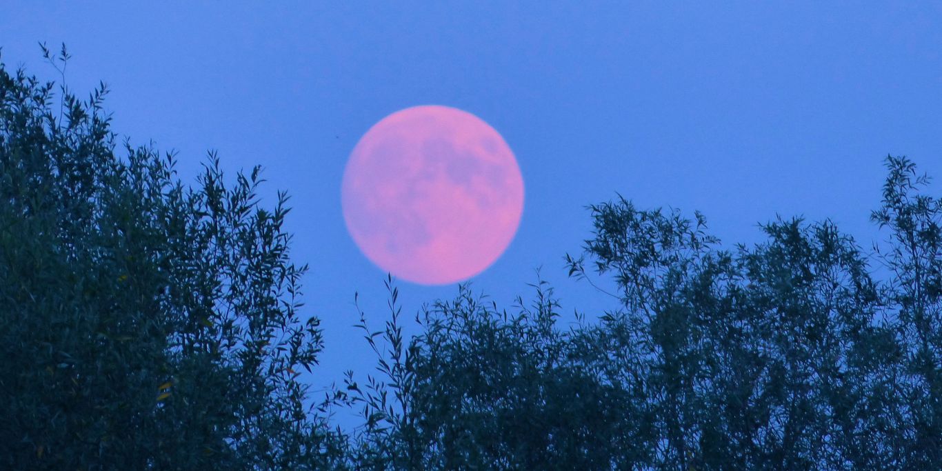
Despite the name, the moon won’t, in fact, be pink.
As much as we love an astronomical event, it’s always worth knowing what to expect before heading outside to look up. Edited images of the moon emanating a pink glow are circulating online, but that’s not an accurate depiction of what tonight’s Pink Moon will actually look like. However, it will still be shining as bright as ever. Here’s what you need to know.
What is a Pink Moon?
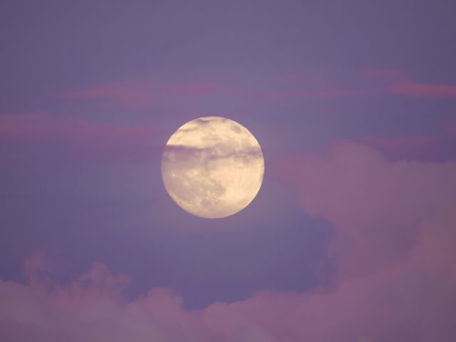
A Pink Moon is a full moon in April. (Credit: Getty/helivideo)
April’s full moon is known as the Pink Moon. The name doesn’t relate to its colour, but rather the start of spring in the northern hemisphere and the blooming of the pink wildflower, wild ground phlox, across North America and beyond. The flower doesn’t grow natively in Australia, but a full moon will still be visible in the southern hemisphere. Easter is also directly connected to this full moon, which dictates when it falls each year.
When can you see the full moon?
While the name means little in the southern hemisphere, stargazers will still be treated to a full moon tonight. It’s one of 13 full moons in 2026 – typically there are 12 a year, but every 2.7 years there is an additional one. The Pink Moon will peak at 1:11pm AEST on Thursday 2 April, which sadly is in the middle of the day, greatly limiting visibility. Therefore, it’s recommended to look up at the skies on the evening of Wednesday 1 April from around 7:30pm AEST.
Other astronomical events happening in 2026
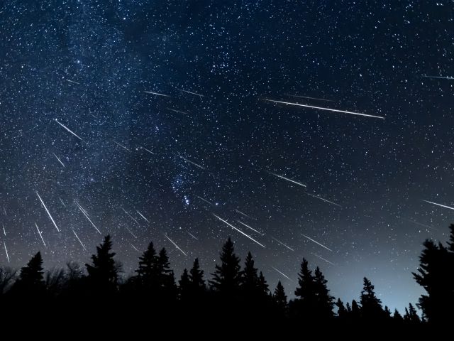
The Geminids meteor shower showcases the year’s best displays. (Credit: Getty/Craig Taylor)
2026 is shaping up to be a fantastic year for astronomical events. Here are some key events to keep on your radar:
Flower Moon: May 1
Eta Aquarid Meteors: May 5–6
Blue Moon (extra full moon): May 31
Delta Aquariids & Alpha Capricornids Meteor Showers: July 30–31
Tick the box next to "Australian Traveller". That's it.
Rachael Thompson is a freelance travel journalist. With a background in design and travel media, Rachael is dedicated to curating content that is as much informational as it is beautiful. She began her career at Belle magazine, before taking up editorial roles at Homes to Love, Bed Threads and Australian Traveller/International Traveller. When she's not writing, editing or optimising content, Rachael enjoys exploring the city's newest restaurants, bars and hotels. Next on her Aussie travel wish list is Lord Howe Island.
The Mornington Peninsula blends vineyards, galleries, golf and delicious finds for an unforgettable getaway that indulges all penchants.
Just over an hour from Melbourne, the Mornington Peninsula blends coast and country in a way that feels effortlessly indulgent. It’s a region where vineyard views meet acclaimed dining, art and culture is never far from the sea, and where hot springs bubble alongside rolling fairways. Whether your escape is a long lunch, an immersive art trail or a round of golf, the Mornington Peninsula has an itinerary to match. And there’s always a glass of good local pinot waiting for you at the end of the day.
A creative trail through the Peninsula
The Mornington Peninsula is a haven for artists and creatives. Its coastal views and rolling landscapes have long been a source of inspiration. Stay at the historical InterContinental Sorrento, a grand hotel established in 1875, recently renovated to blend heritage charm with contemporary elegance. With curated art lining the hotel’s corridors and rooms, you could spend hours simply wandering the halls, studying the walls.
Wander around Pt. Leo Estate’s outdoor gallery. (Image: Visit Victoria/Jesse Hisco)
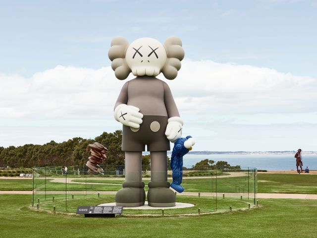
If looking for an outdoor gallery with sea views, head to Pt. Leo Estate, a landscaped vineyard home to a sculpture park featuring more than 70 large-scale works by both local and international artists, all easily accessible by connecting paths. After strolling through the vineyards, there are three dining options: fine dining at Laura, a relaxed meal at Pt. Leo Restaurant or a vino at the Wine Terrace. For something more hands-on, sign up for the Sip & Sketch experience. And if you book directly into the elegant Lancemore at Lindenderry Red Hill, you’ll enjoy free access to the sculpture park.
Pt Leo Estate boasts three elegant dining venues. (Image: Visit Victoria/Two Palms/Arianna Harry)
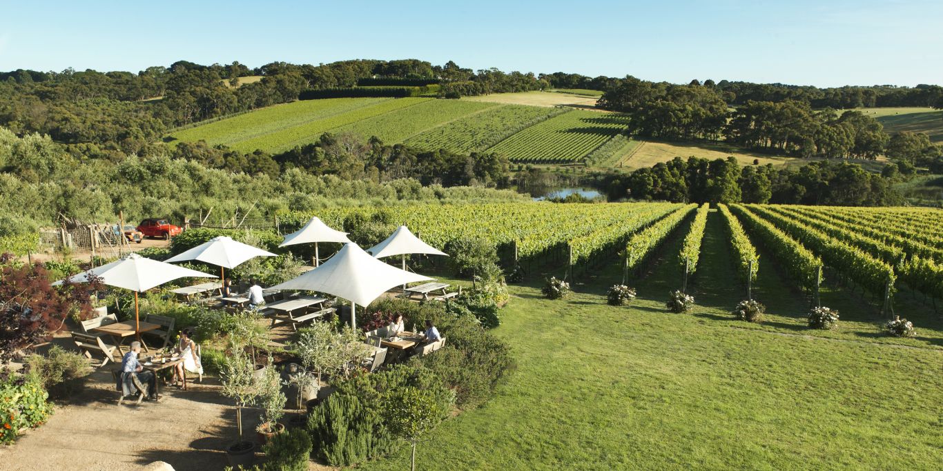
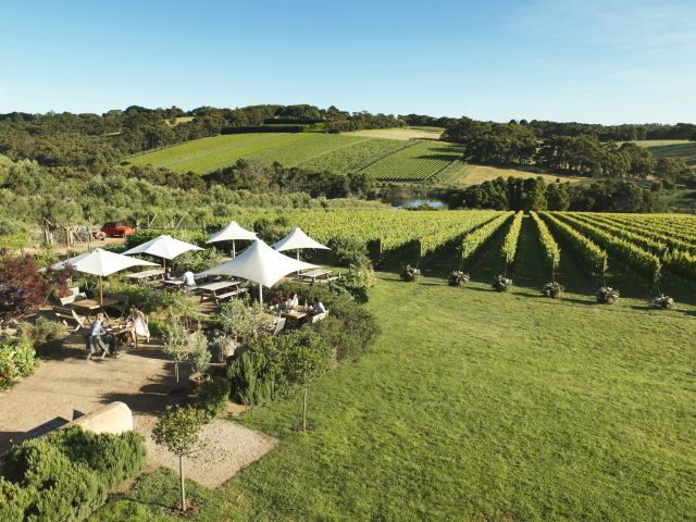
For those who like their art framed by rolling hills, vines and wetlands, Montalto is the place. More than 30 sculptures are dotted throughout the property. The vineyard offers a formal restaurant and casual tables among the seasonal produce in a setting that feels like Mr. McGregor’s Garden from Peter Rabbit. And there’s always the option to picnic on the lawn.
Montalto Vineyard is an idyllic setting for afternoon wining and dining. (Image: Visit Victoria/Robyn Lea)
The Sorrento-Portsea Artists Trail offers a self-guided walk along bush paths and sea cliffs to see the same landscapes that once inspired brushstrokes of some of Australia’s most famous artists. Along the way, interpretive signs share insights into the area’s artistic past. And, if the peninsula’s weather turns a little wild, the region is brimming with galleries, particularly around Flinders, Sorrento and Red Hill. Artisan studios are open by appointment.
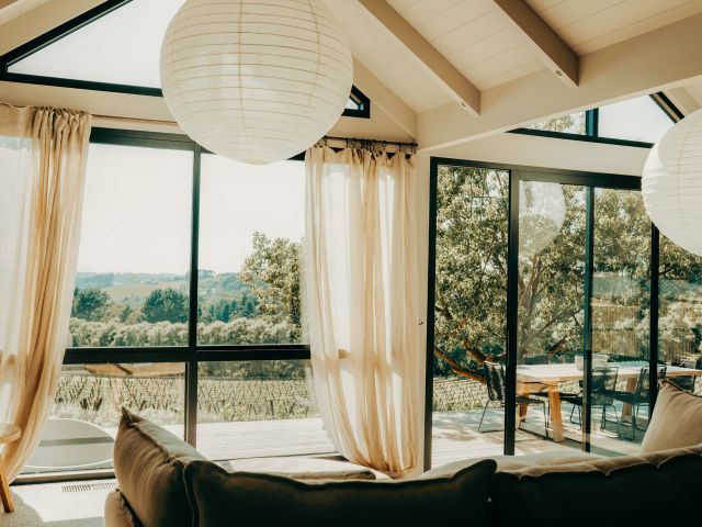
The perfect base for a culinary inclined trip is Cassis Red Hill, where luxury accommodation is tucked between grape vines and olive trees. A quiet nod to the fishing village of Cassis in the south of France, this retreat is all about contemporary elegance – crisp linen, sunlit interiors and a private mineral plunge pool.
Then, for a stand-out lunch, Green Olive at Red Hill offers a delicious way to enjoy the region. Graze on generous tasting plates with house-made relishes, lamb sausages, local cheese and just-picked garden produce. Pair it with a wine flight or order a picnic hamper to enjoy among the olive grove; there’s a picnic option for your dog, too. And for a playful twist, Green Olive is home to what is believed to be Australia’s only pickleball court set within a vineyard or orchard.
Amid the many wineries with open cellar doors, Main Ridge Dairy offers a delicious detour – a goat dairy where you can sample handcrafted cheeses and even meet the resident goats. For a more refined experience, Paringa Estate is one of the peninsula’s most awarded wineries, offering fine dining with sweeping vineyard views and a menu crafted from seasonal, locally sourced ingredients.
If you’re looking to step outdoors before a lingering lunch, during winter Flinders Truffles offer the chance to join their clever dogs and search for the black gold under oak trees. For an authentic taste of the region, time your visit with one of the Peninsula’s vibrant farmers’ markets.
From golf days to spa stays
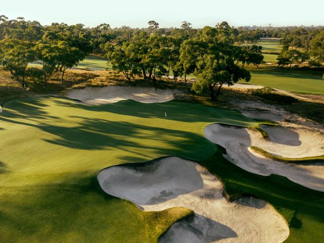
Peninsula Kingswood Country Golf Club. (Image: Visit Victoria)
With its champion courses, the Peninsula is a dream destination not only for those who love to tee off but for those who enjoy the post-golf wind down. Peninsula Kingswood Country Golf Club draws keen golfers from around the world, while Peppers Moonah Links Resort is a course that has hosted both a PGA tournament and two Australian Opens. For a true test of skill, The Dunes Golf Links is one of Australia’s top public courses.Each golf course offers accommodation, and staying onsite means maximum convenience, especially at The Dunes, where premium rooms have you sleeping right next to the fairway. Off-course indulgence is close at hand, too.
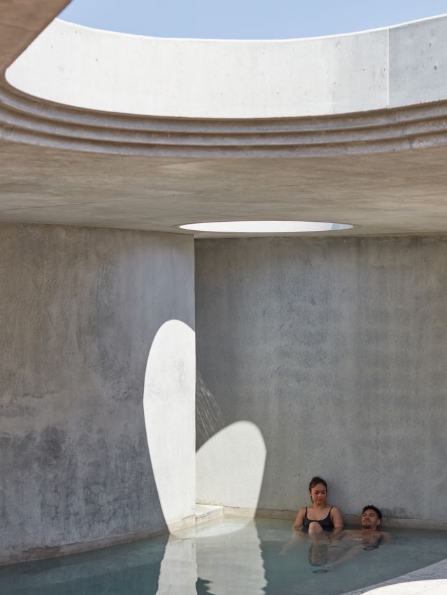
Soaking at Alba Thermal Springs & Spa. (Image: Visit Victoria)
Peninsula Hot Springs and Alba Thermal Springs are just next door, where thermal waters drawn from geothermal mineral springs deep underground provide the ultimate recovery after a day of perfecting your swing. These award-winning wellness sanctuaries offer everything from bathing pools to private plunges and spa treatments.
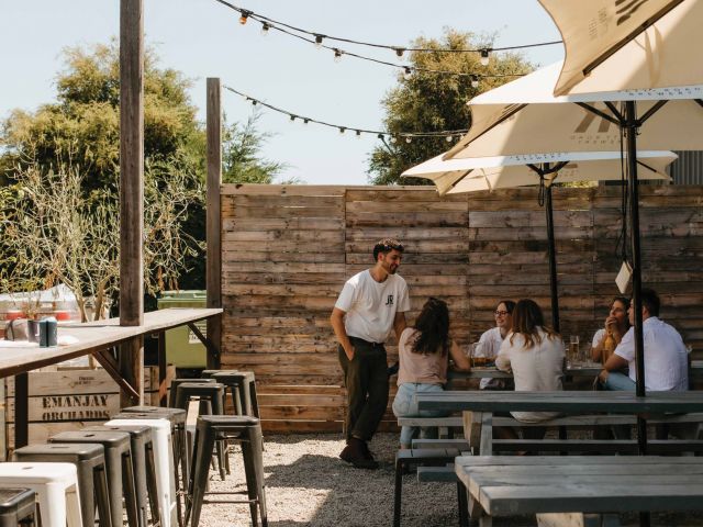
Jetty Road Brewery.
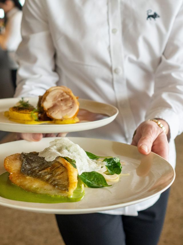
After sinking the last ball, and the 19th hole beckons, the Peninsula serves up just as many dining options as it does golf courses. Just minutes away and right on the beach, Jetty Road Brewery is a laid-back spot perfect for a round of beers and typical pub fare. For something a little elevated, book a table at Epicurean. Here, a glass of local red pairs beautifully with handmade pastas and woodfired pizza, all served in a historical coolstore and packing shed dating back more than a century.