The fourth of Australian Traveller’s epic bushwalks, the Australian Alps Walking Track is also the highest.
Foremost is the walk from Mt Howitt to the Viking (four days), revealing some of the most rugged and spectacular areas in the High Country. The type of terrain is betrayed by some of the feature names: Mt Buggery, Mt Despair, Horrible Gap and the Terrible Hollow.
The mountain lover’s long-distance trail, the Australian Alps Walking Track (AAWT) rolls up, over and through the High Country between Walhalla, in Victoria’s Gippsland region, and Canberra’s edge.
Though it’s the closest of the trails to Sydney and Melbourne, it’s also conversely the most isolated and demanding, requiring detailed preparation and up to six weeks in changeable mountain conditions.
Throughout its 680km length, the AAWT never once passes through a town – the nearest thing it sees to a settlement is the Mt Hotham resort (it also passes within a few klicks of Thredbo).
For this reason it’s a logistical exercise as much as a physical one, requiring a number of food drops (usually hidden in the bush) to be organised ahead of your departure.
First mooted as a walking trail in the late 1960s, the original plan was for a Victorian track only, beginning in Walhalla and ending at Tom Groggin on the NSW border.
By 1976 this trail was complete, and it wasn’t until the 1990s that the extension through NSW and into the ACT was added.
Though it’s unquestionably spectacular, the AAWT is also an imperfect trail, running close to some of the country’s outstanding peaks, including Mts Feathertop, Bogong, Kosciuszko, Townsend and Tate, but not over them.
Fortunately, it’s a simple task to remedy this. A day can be spent walking along Razorback Ridge from Hotham to Feathertop, while Cleve Cole Hut, on the AAWT, is little more than an hour’s walk from Bogong.
At Rawson Pass, beneath Kosciuszko, the AAWT makes an unusual dogleg, turning away from the peaks and following the sealed Charlotte Pass road back to Smiggin Holes.
Far better is to continue along the Main Range from Rawson Pass, climbing over Australia’s highest peaks and rejoining the AAWT at Whites River Hut.
Trail highlights are many, though two or three stages stand out.
Foremost is the walk from Mt Howitt to the Viking (four days), revealing some of the most rugged and spectacular areas in the High Country. The type of terrain is betrayed by some of the feature names: Mt Buggery, Mt Despair, Horrible Gap and the Terrible Hollow.
Begin near Macalister Springs, off Howitt Road, joining the AAWT just below Mt Howitt and inching across the narrow Crosscut Saw ridge to Mt Speculation.
After climbing to the summit of Mt Despair the terrain becomes even more difficult, with the track unmarked and difficult to follow.
Atop the Viking, the AAWT turns east towards Barry Saddle, but you can also complete a circuit back to Mt Howitt by descending to the Wonnangatta River and back up the Wonnangatta Spur.
A second section of note is the 76km from Hotham across the Bogong High Plain and Mt Wills to the Omeo Hwy, following snow poles much of the way.
It represents about five days in the company of Victoria’s mountain royalty: great views of Feathertop, a climb to Mt Nelse, a detour to Bogong and, finally, views back to the high plain from Mt Wills.
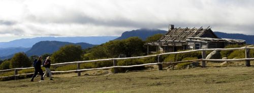
This section also provides a great showcase of mountain cattlemen huts, like Wallace’s Hut on the Bogong High Plain (top).
For a break from mountains, consider the 50km section from the old gold-mining settlement of Kiandra through the Cooleman area of northern Kosciuszko NP.
You’ll have the opportunity to see the Murrumbidgee River in its mountain-stream infancy before climbing over Gurrangorambla Range to one of the High Country’s most unusual features: the porous karst of the Cooleman Plain.
This tussocky plain is hole-punched with caves, most notably at Blue Waterholes, where a series of springs pours to the surface.
Take a detour (and a torch) west along Cave Creek and you’ll find two of the more impressive caves, while the creek itself is most dramatic just downstream from Blue Waterholes, through the limestone Clarke Gorge to a series of waterfalls beyond.
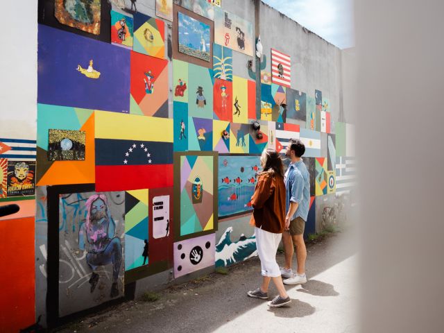
Makers, bakers, artists, chefs, crafters – Ballarat and its surrounds are overflowing with creative spirits. All dedicated to keeping traditional skills alive for a city that is humming with artful energy.
Modern makers: a new generation of artists and artisans
“Keeping craft alive is a noble cause,” says Jess Cameron-Wootten, a charming and passionate master leathercrafter and cordwainer, who handmakes traditional leather boots and shoes in Ballarat’s old Gun Cotton Goods Store.
Ballarat was recognised in 2019 as a UNESCO Creative City of Craft and Folk Art, and today it’s a place where craft traditions converge with contemporary needs. Nothing quite captures this convergence as a visit to Wootten , the workshop and store of Jess Cameron-Wootten and his partner Krystina Menegazzo.
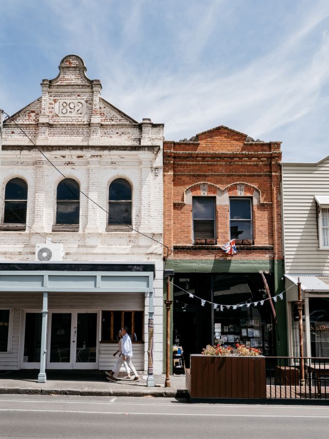
Ballarat’s streets are lined with heritage buildings. (Image: Matt Dunne)
Jess’s father was an artisan bootmaker, or cordwainer. Now Jess and Krys and their small team of artisans continue the tradition, but with a modern spin. The company’s boots and shoes, made completely from scratch, are renowned for their quality and longevity. Wootten also craft shoes, bags, belts, leather aprons, wallets and more.
Cosy beanies, gloves, alpaca socks, “unbreakable” shoelaces and various other goods – many from local craftspeople and small-scale makers – fill the shop’s shelves. “We’re always happy to support a mate,” says Jess. “People love to see the workshop and where things are made. Our clients care about quality and sustainability,” Krys comments. The company slogan ‘Made for generations’ says it all.
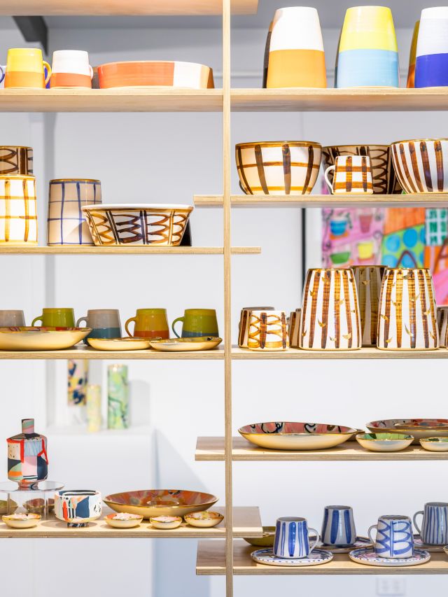
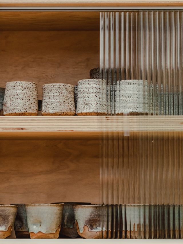
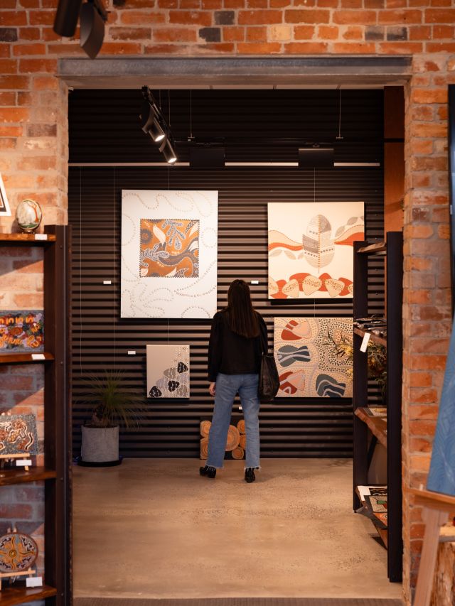
Ruby Pilven’s ceramics at Ross Creek Gallery. (Image: Tara Moore)
For Ruby Pilven, craft is also in the DNA – both her parents were potters and with her latest porcelain ceramics, Ruby’s young daughter has been helping add colour to the glazes. “I grew up watching my parents in the workshop – I’ve always been doing ceramics,” she says, although her Visual Arts degree was in printmaking. That printmaking training comes through particularly in the rich layering of pattern. Her audacious colour, unexpected shapes and sudden pops of 12-carat gold are contemporary, quirky – and joyful.
You can see Ruby’s handcrafted ceramics, and work by other local and regional artists, at Ross Creek Gallery , a light-filled space surrounded by serene bushland, across from the mudbrick house her parents built in the 1980s. A 10-minute drive from Ballarat, it’s a tangible link to the region’s well-established craft traditions.
How Ballarat is preserving the past
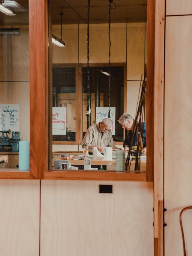
The Centre for Rare Arts & Forgotten Trades holds workshops to preserve crafts and skills.
While tradition is ongoing, there’s a danger that many of these specific type of skills and knowledge are fading as an older generation passes on. Step forward the Centre for Rare Arts and Forgotten Trades .
The seven purpose-built studios occupy a fabulous modern building adjacent to Sovereign Hill, with state-of-the-art facilities, enormous windows and landscape views across to Warrenheip and Wadawurrung Country.
Check out artisanal works at the Centre for Rare Arts and Forgotten Trades.
Practising artisans run hands-on workshops. Fancy making your own medieval armour? Or trying your hand at blacksmithing, spinning wool, plaiting leather, weaving cane or craft a knife? Book a class and learn how. “It’s about creating awareness and also sharing knowledge and skills before they are lost,” explains Deborah Klein, the centre manager.
A city steeped in food and flavours
Chef José Fernandez creates vibrant South American street food at Pancho. (Image: Ballarat Tourism)
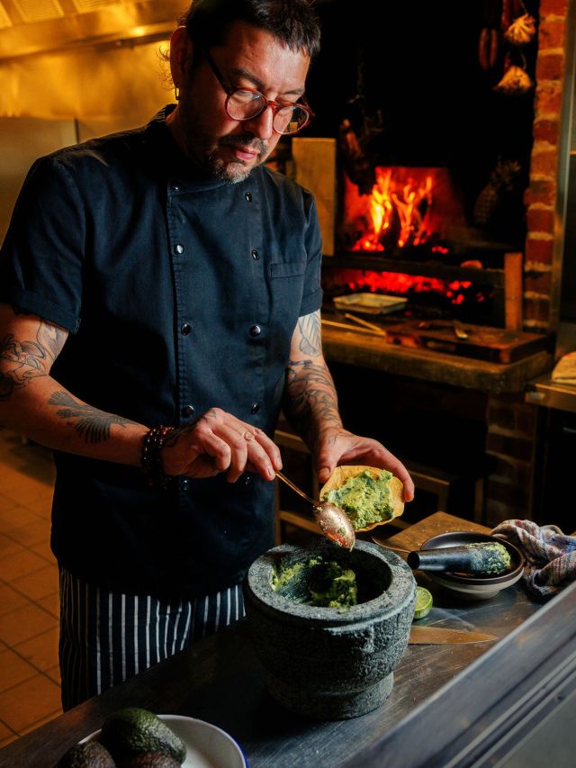
One skill that hasn’t been lost is that of cooking. Ballarat’s burgeoning gastronomy scene runs the gamut from an artisan bakery (the atmospheric 1816 Bakehouse) to cool coffee shops, speakeasy cocktail bars and distilleries to fine-dining venues. But I’m still surprised to find Pancho , José Fernandez’s South American street food restaurant, serving fried cheese tequeños, fiery fish tacos, Argentinian grilled chicken.
The room is as lively as the food – a whirl of colour filled with gifted and thrifted paintings, photos, tchotchkes (trinkets), plants. There’s a Mexican abuela aesthetic going on here. Even before the music and mezcal kick in, it’s fun. Heads up on the drinks menu – an authentic selection of mezcal, tequila, South American wines and Mexican cerveza.
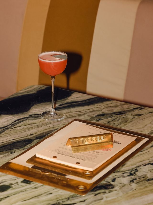
Enjoy a cocktail at Itinerant Spirits. (Image: Ballarat Tourism)
The spirit is willing, so after lunch we head towards the gold rush-era Ballarat train station and across the line to the old 1860s Goods Shed for Itinerant Spirits . At one end, a massive German copper still looms behind a wall of glass. The fit-out embraces deep olive-green tones, original bluestone walls, steamer trunks as coffee tables, heritage timber floors, oversized lamp shades and cognac-hued modernist leather seating.
The distillery operates from an old goods shed. (Image: Ballarat Tourism)
Gallivanter Gin, Vansetter Vodka and Wayfarer Whiskey – the key spirits distilled – star at the bar. The spirits are crafted using grains from the Wimmera Mallee region, and native botanicals foraged in the Grampians. Seasonal cocktails are inspired by local people and places (I loved The Headland, inspired by Sovereign Hill and flavoured with old-fashioned raspberry drops). Sample the spirits, and join a cocktail masterclass or a distillery tour. It’s a seductive setting – you’ll likely find yourself ordering a charcuterie platter or pizza as the evening progresses.
The Ballarat stay combining history and luxury
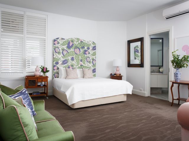
The rooms at Hotel Vera have a contemporary style. (Image: Ballarat Tourism)
New lives for old buildings keeps history alive. Vera, Ballarat’s boutique five-star hotel, has taken it to the next level: it’s a palimpsest, a subtle layering of early 1900s and 1930s Art Deco architecture with a sleek new wing. There are seven spacious suites, each a dramatically different colour, with designer chairs, blissful bathrooms. High-end pottery and hand-picked artworks imbue the spaces with personality.
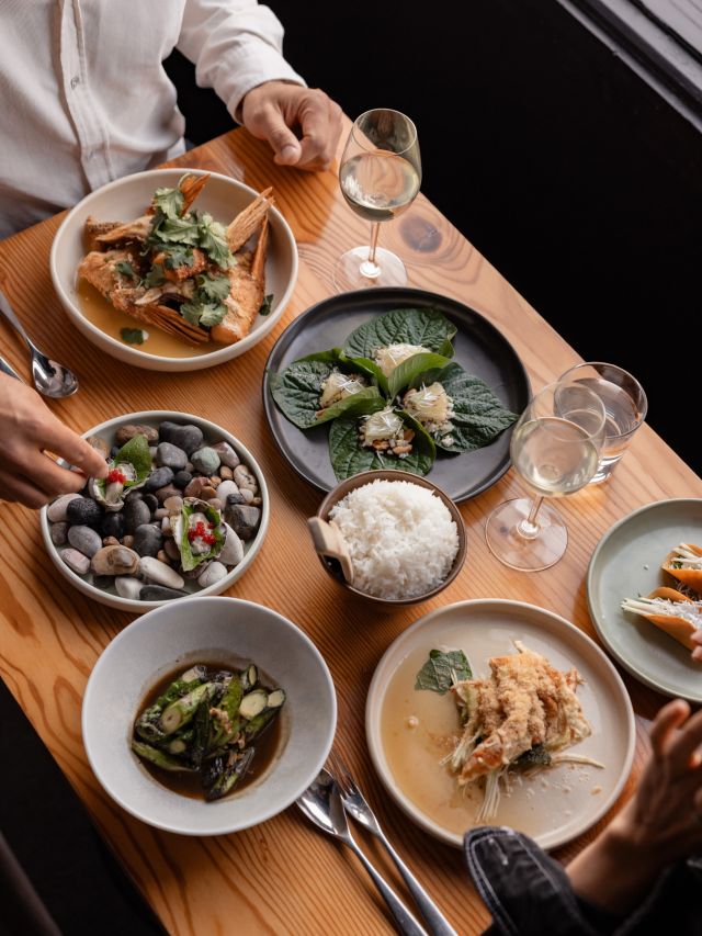
Vera’s intimate, award-winning restaurant, Babae, is subtly theatrical with sheer drapes and gallery lighting, its bespoke timber furniture and brass-edged marble bench setting the stage for food with a sharp regional focus. “We have goat’s cheese from a local supplier, handmade granola from local Vegas & Rose, truffles from nearby Black Cat Truffles, fresh food from our garden, and regional wines,” says joint owner David Cook-Doulton.
Celebrating the local makers, bakers, growers and producers, and the master chefs who work their magic is all part of the rich tapestry that links Ballarat’s history to its vibrant present.
A traveller’s checklist
Getting there
It’s 90 minutes from Melbourne, either on the Western Freeway, or hop on a V/Line train from Southern Cross Station.
Staying there
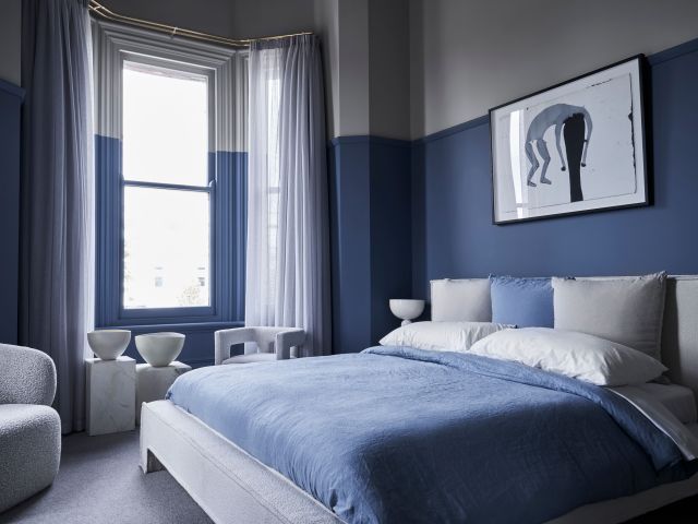
Hotel Vera is a centrally located Art Deco boutique hotel. Consider Hotel Provincial , which feels like a sleek country house, but with its own restaurant, Lola.
Hotel Provincial has country house vibes.
Eating there
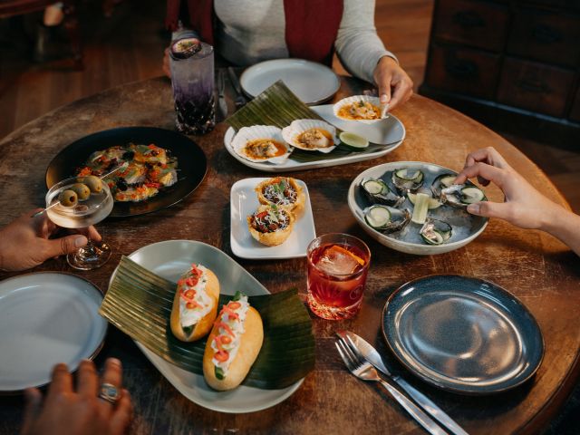
The table is set at Mr Jones. (Image: Tony Evans/ Visit Victoria)
Culinary whiz Damien Jones helms Chef’s Hat winner Mr Jones Dining with quiet assurance. His modern Asian food is deceptively simple with deep, intense flavours. Low-key, laid-back ambience, lovely staff, thoughtful wine list.
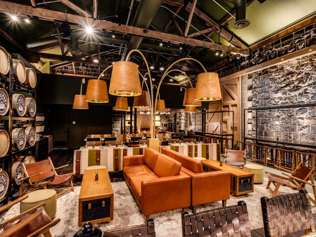
Cocktails are definitely a thing in Ballarat. Reynard (fox in French) is foxy indeed, a clubby space with top-notch cocktails and small bites. Grainery Lane is extravagantly OTT with its massive 1880s bar, myriad chandeliers, brass gin still, Asian-inspired food and lavish cocktails.
Dining at Grainery Lane.
Playing there
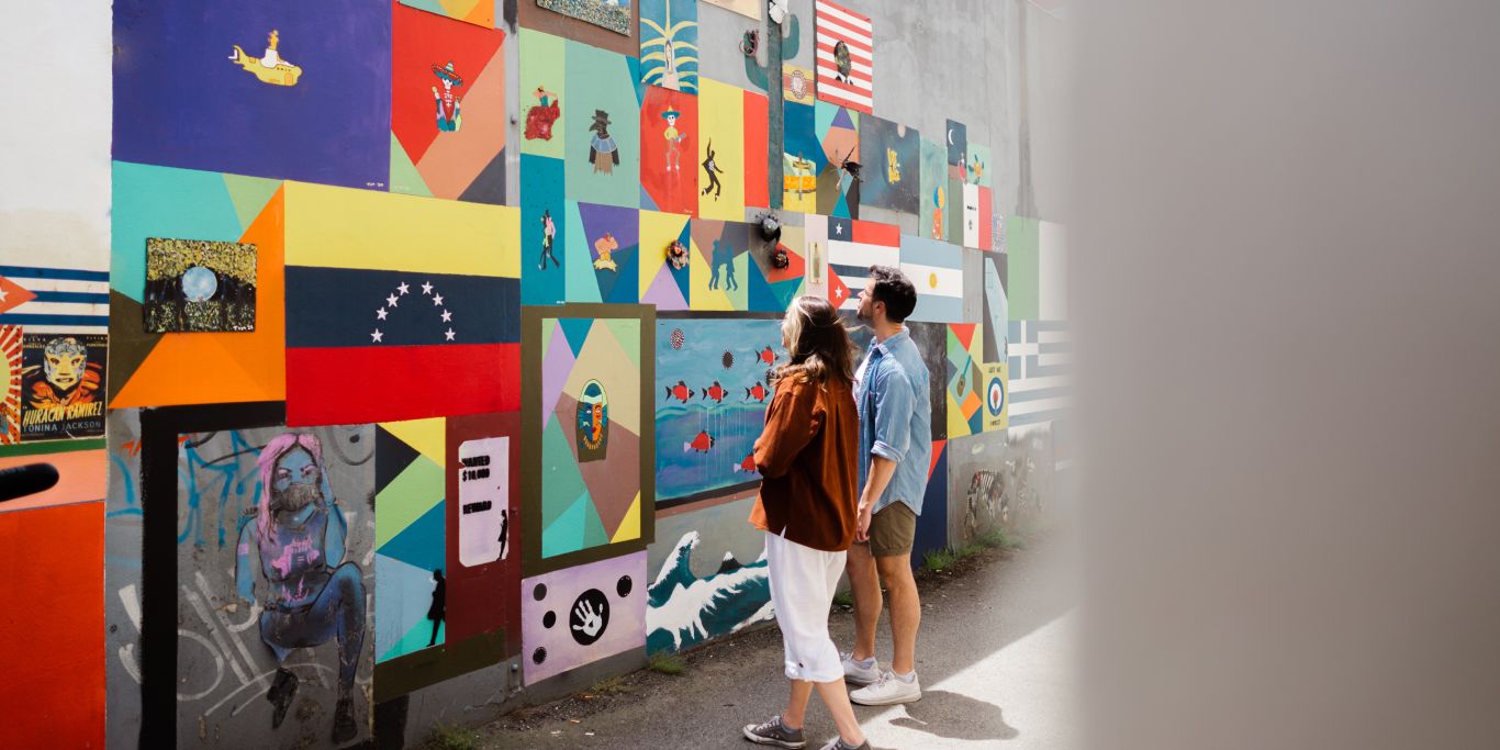
An artful laneway in the city. (Image: Ballarat Tourism)
Don’t forget the giant bluestone Kryal Castle , ‘the land of adventure’, for a little medieval magic, and not just for the kids: get ready for Highland-style feasting, jousting, even overnight stays.